

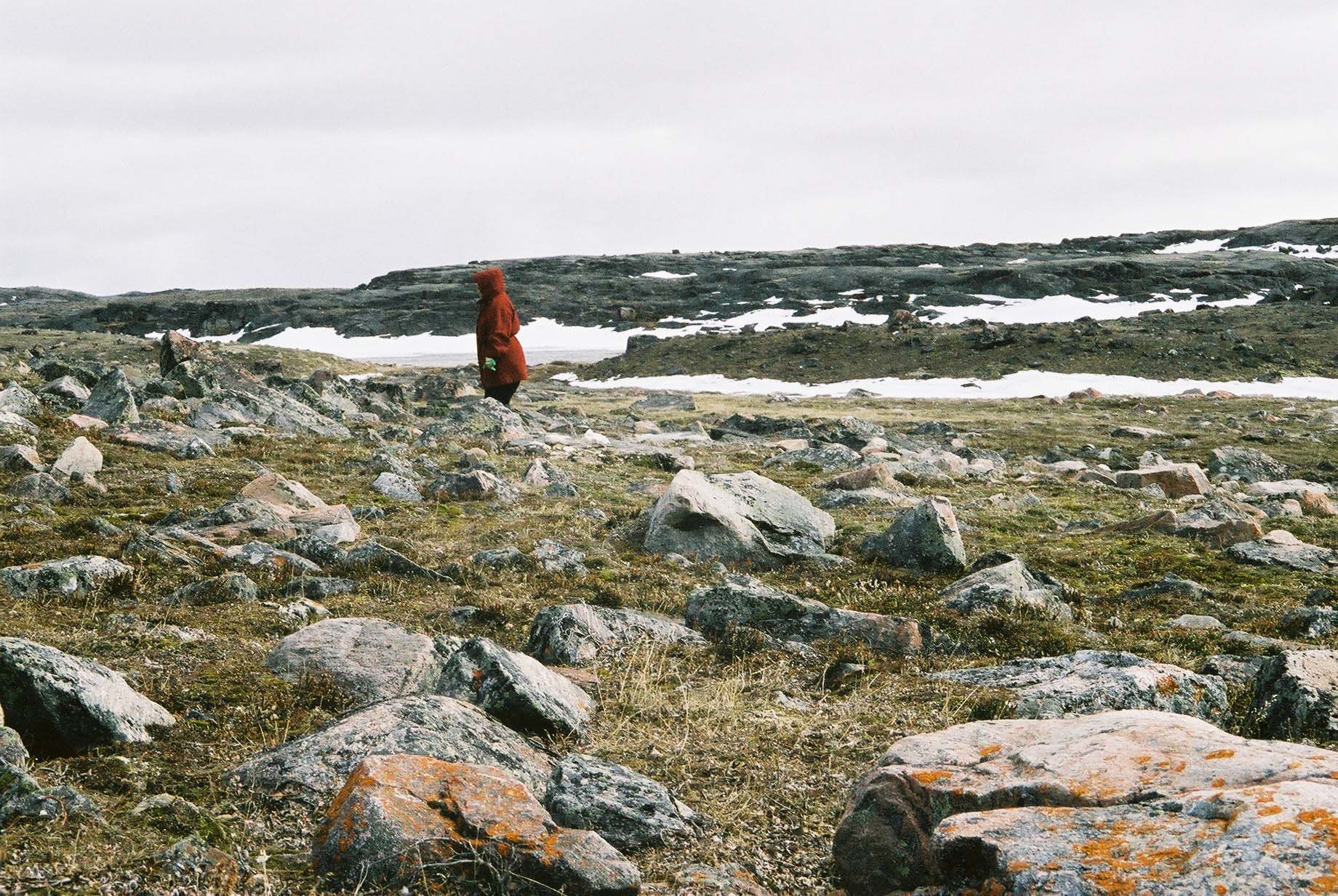
Banner Photo: Gita Ljubicic
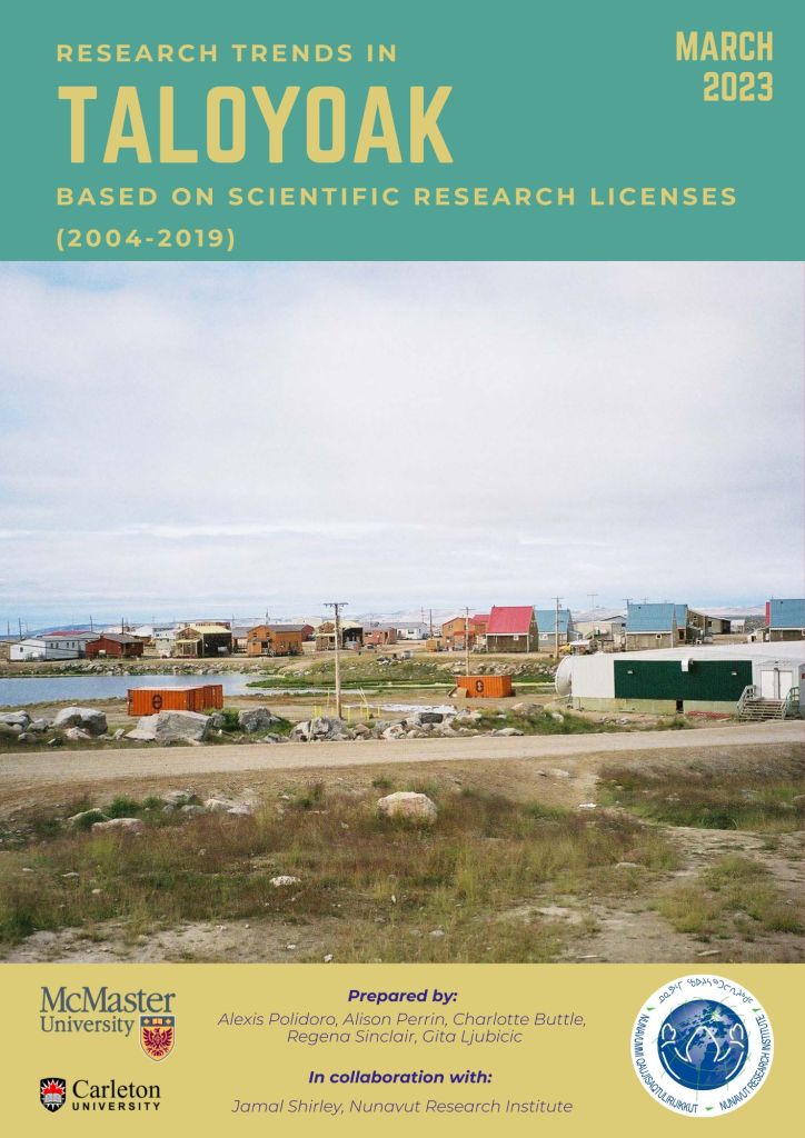
Taloyoak
Community contributors from Taloyoak have been involved in the following projects:


Photos: Gita Ljubicic
Learn more about Taloyoak
Travel Nunavut – Taloyoak profile
This work is licensed under a Creative Commons Attribution-NonCommercial-NoDerivatives 4.0 International License. You can freely download and share all documents posted for non-commercial uses, as long as the authors are credited. Photos cannot be used for any other purposes, without permission from the photographer.
Reports

Publications
Laidler, G. J., Treitz, P. M., and Atkinson, D. M. 2008. Remote Sensing of Arctic Vegetation: The relations between NDVI, spatial resolution, and vegetation cover on Boothia Peninsula, Nunavut. Arctic, 61, 1: 1-13. (https://doi.org/10.14430/arctic2)
Laidler, G. J. and Treitz, P. 2003. Biophysical Remote Sensing in Arctic Environments.Progress in Physical Geography, 27, 1: 44-68. (https://doi.org/10.1191/0309133303pp358ra).
Theses
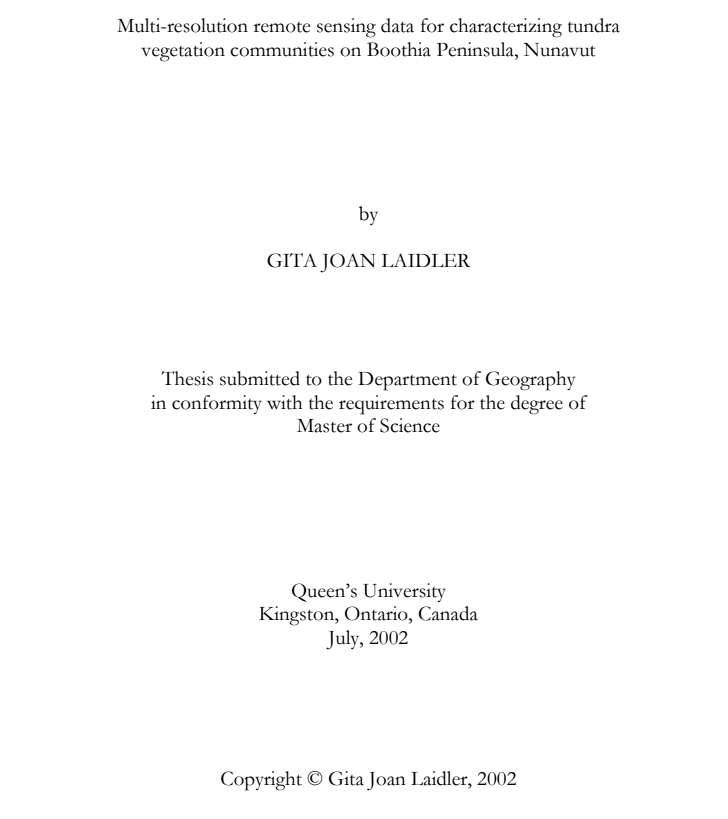
Laidler, G. J. [MSc thesis, 2002] Multi-resolution remote sensing data for characterizing tundra vegetation communities on Boothia Peninsula, Nunavut. (Queen’s University).
Gita Ljubicic (Laidler at the time), worked with Sarah Takolik to conduct interviews with Inuit Elders in Taloyoak in June 2001, before going to the Boothia Peninsula field camp. Through these interviews Elders shared their knowledge of tundra plants, and the importance for uses by people and animals (especially caribou). Due to limitations of time and funding these interviews could not be meaningfully incorporated into her thesis, but all recordings were provided to the Netsilik School for community access and use.
