Nunavummi Nunarjuattigut Illiniarniq – Learning in Nunavut Through Our Earth
2008 – 2011
Funded by: International Polar Year (Canadian Federal Program Office), Training, Communication, and Outreach Grant
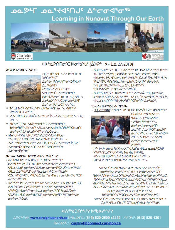
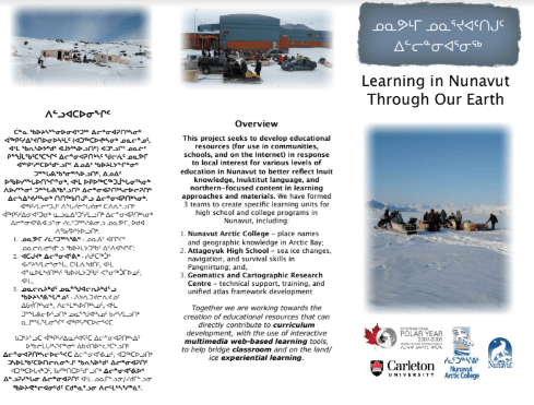
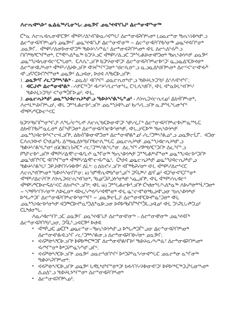
This project aimed to develop educational resources (in communities and online) for Nunavummi Nunarjuattigut Ilinniarniq – Learning in Nunavut through our Earth. The focus was on creating educational materials and curriculum to support experiential and cultural learning opportunities throughout Nunavut. This work would also help to establish the foundation for a collaborative online Atlas of Nunavut. Multiple teams worked on specific learning units for various types and levels of education in Nunavut, including:
- Nunavut Arctic College – place names and geographic knowledge in Arctic Bay;
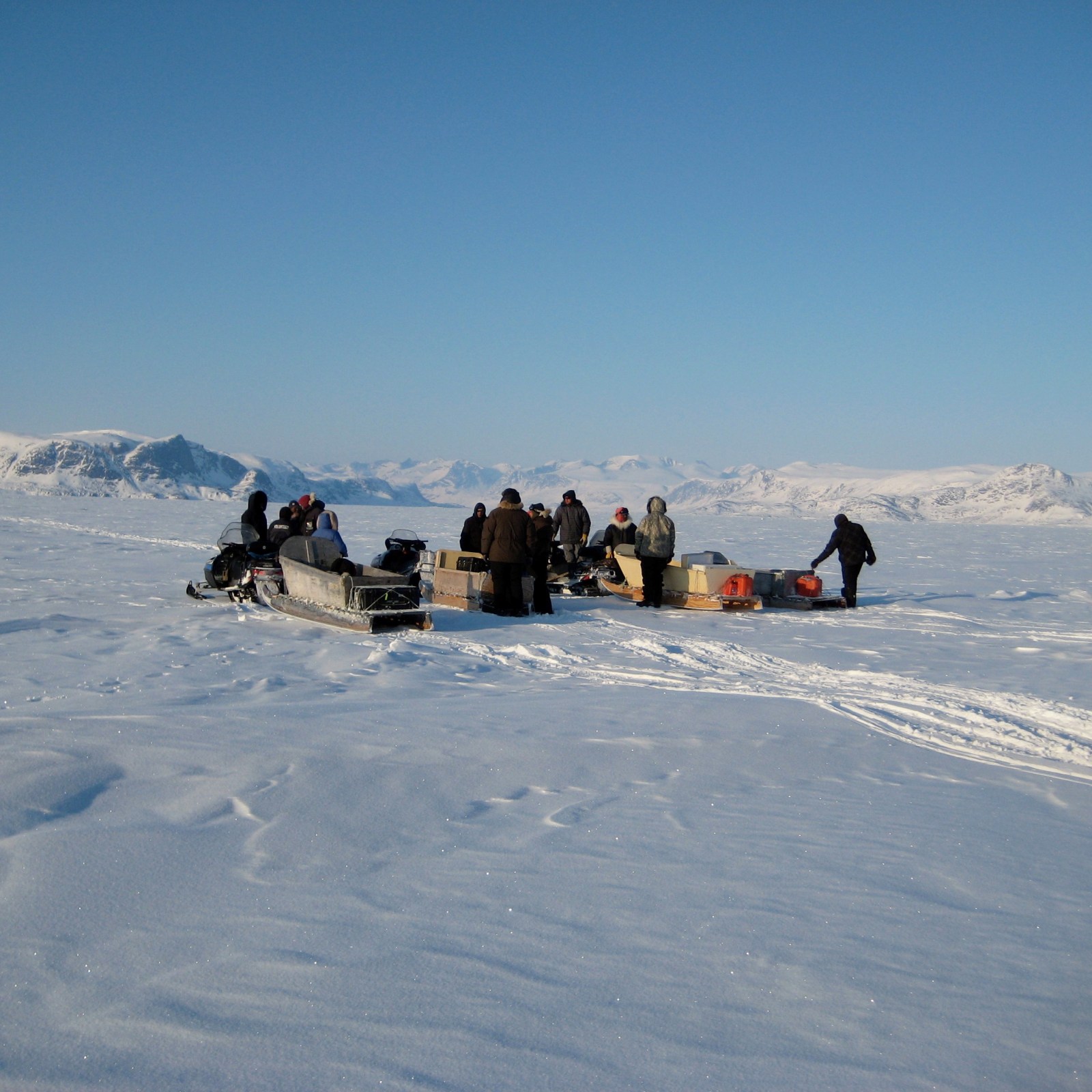
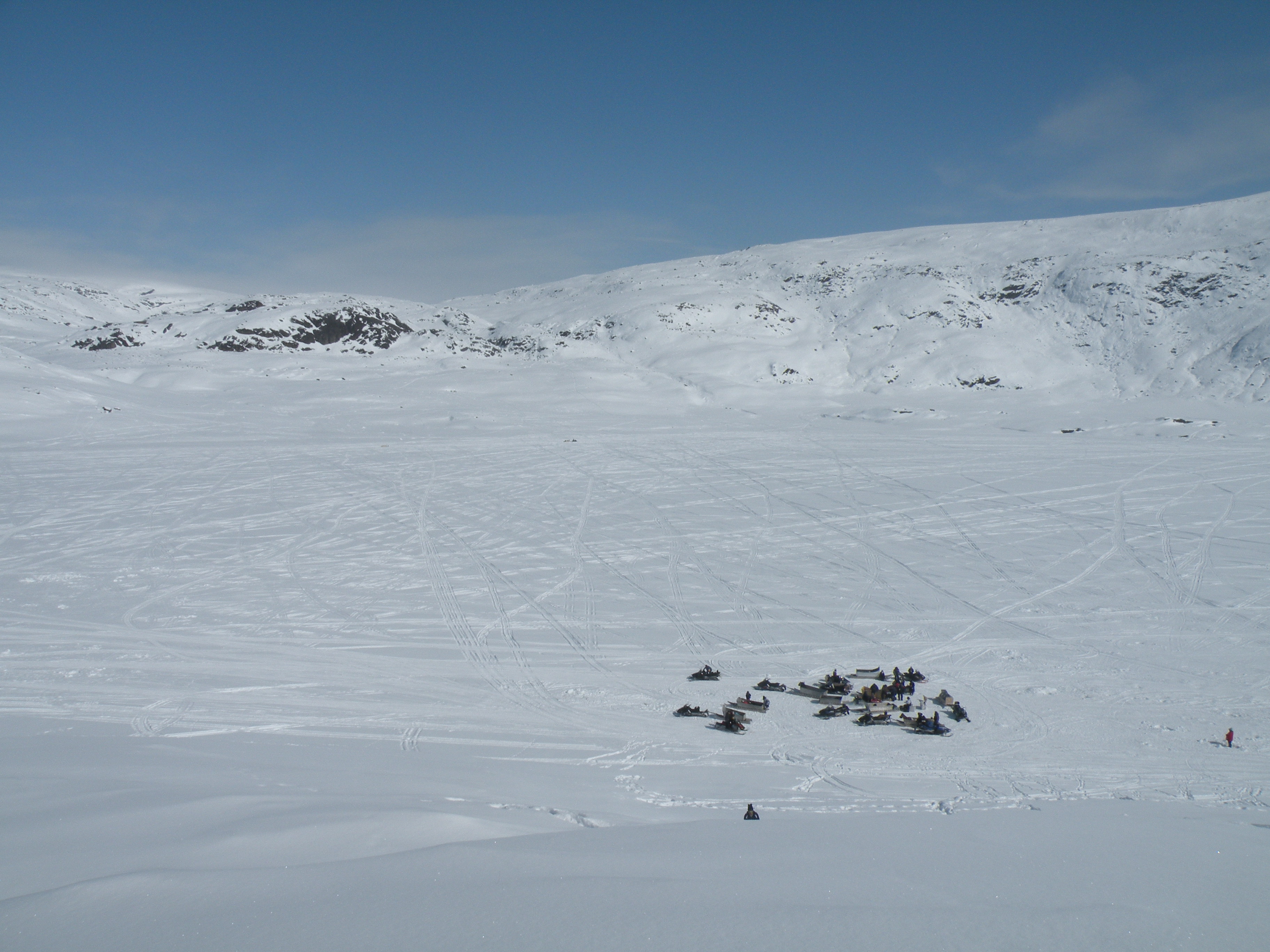
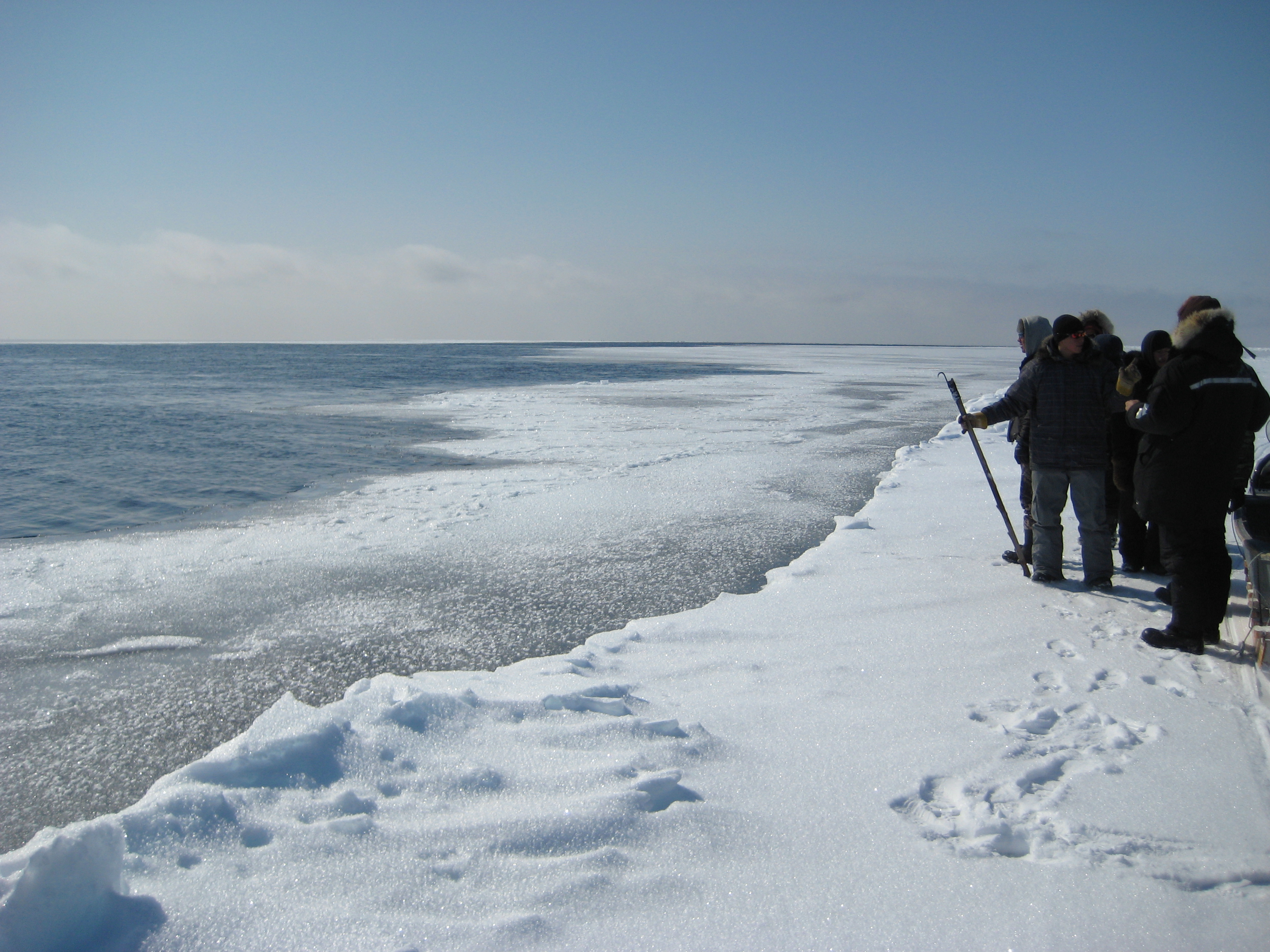
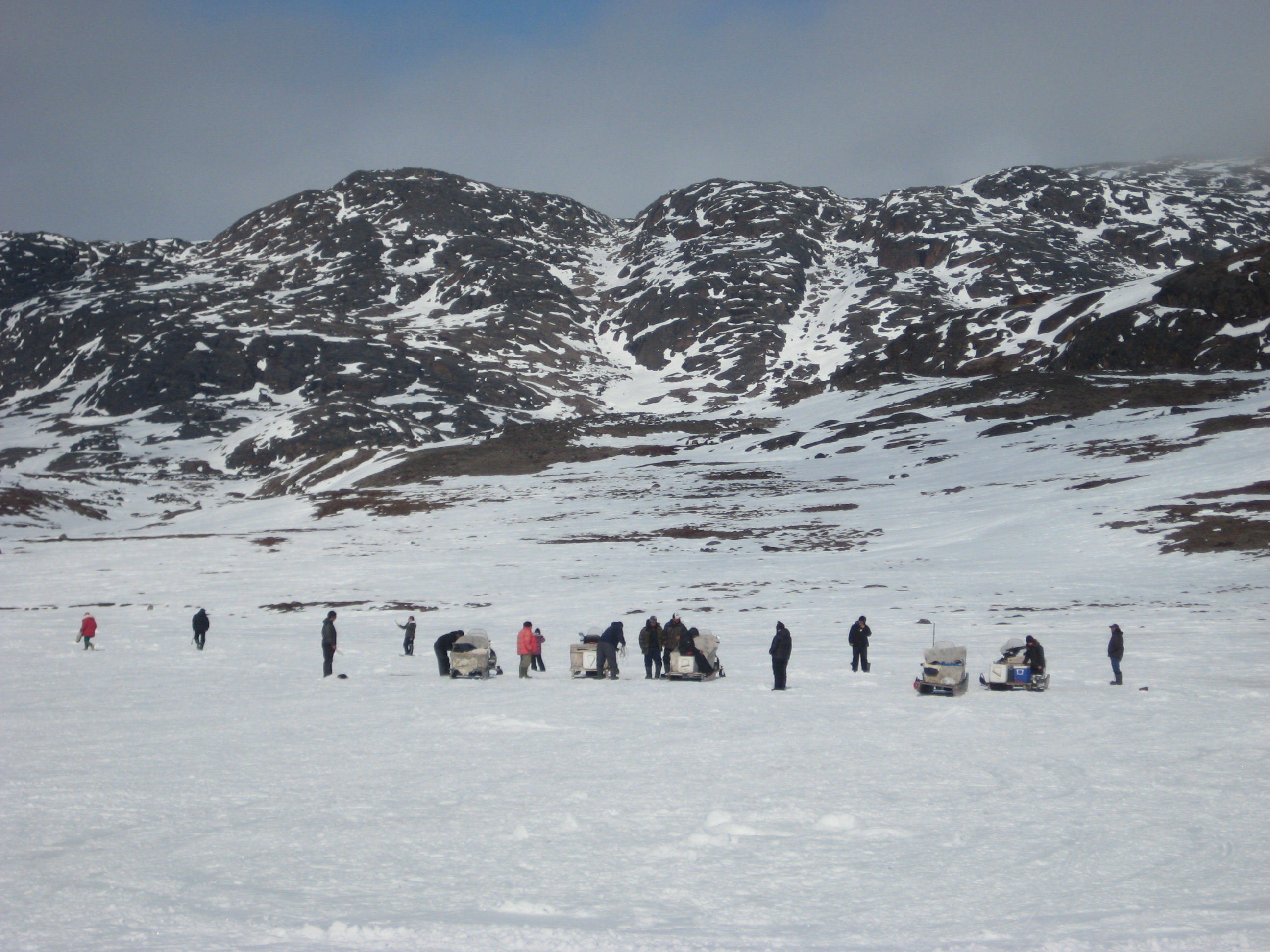
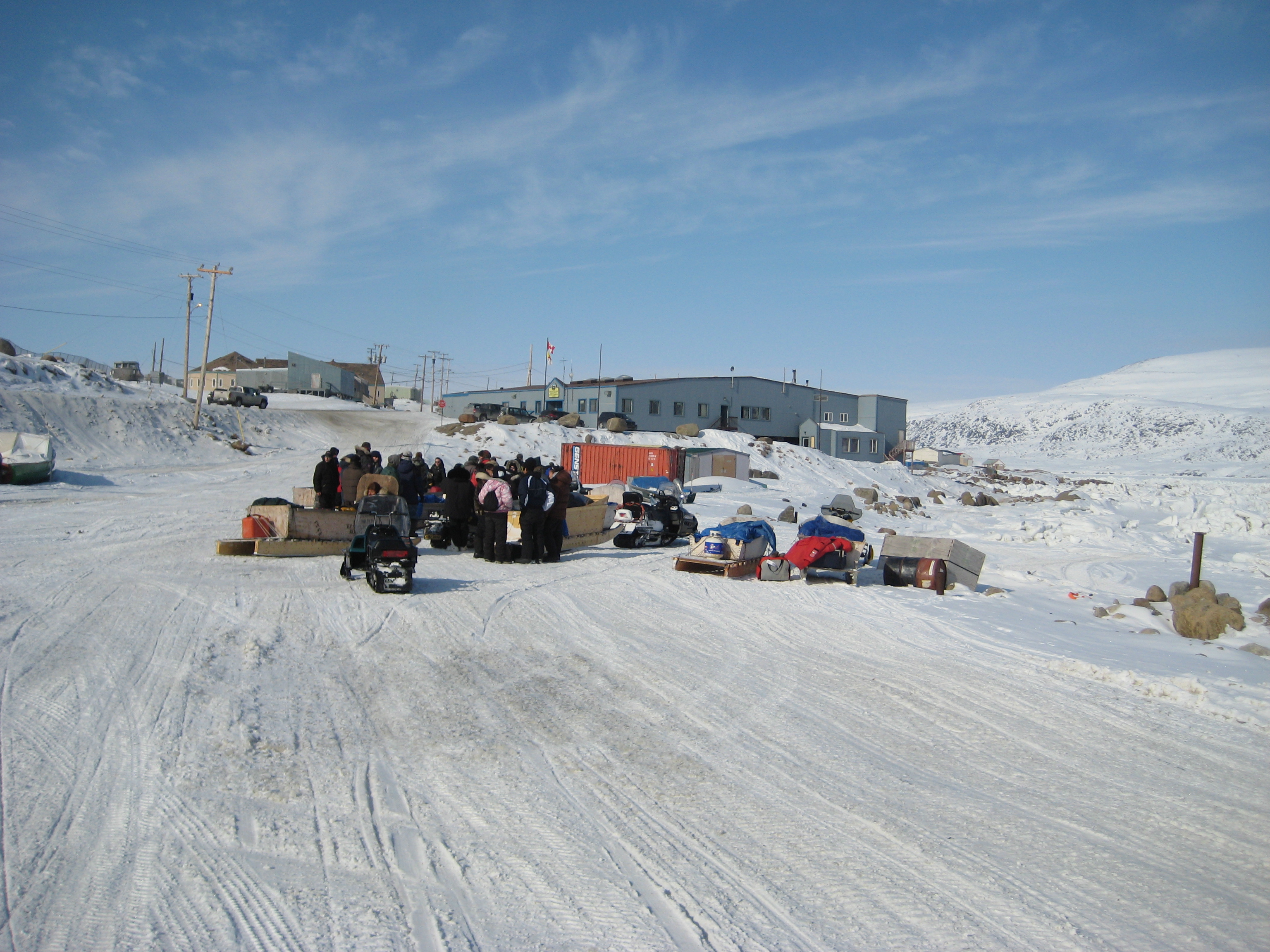
- Attagoyuk High School – sea ice changes, navigation, and survival skills in Pangnirtung;
- Geomatics and Cartographic Research Centre – technical support, training, and unified atlas framework development.
The partnership of these three projects aimed to maximize the educational potential of learning units, as well as online atlas development, to benefit school or college settings across Nunavut. Each of these teams were already working with the Geomatics and Cartographic Research Centre (GCRC) at Carleton University. They were at various stages of developing their own internet-based cybercartographic atlases. The GCRC was a facilitator to:
- support the sharing and development of resources across the project;
- advance team goals through customized technical, creative, and logistical support;
- provide a common foundation based on best practices in management and interoperability of digital learning materials for Nunavut- wide learning and atlas initiatives for different ages and interests.
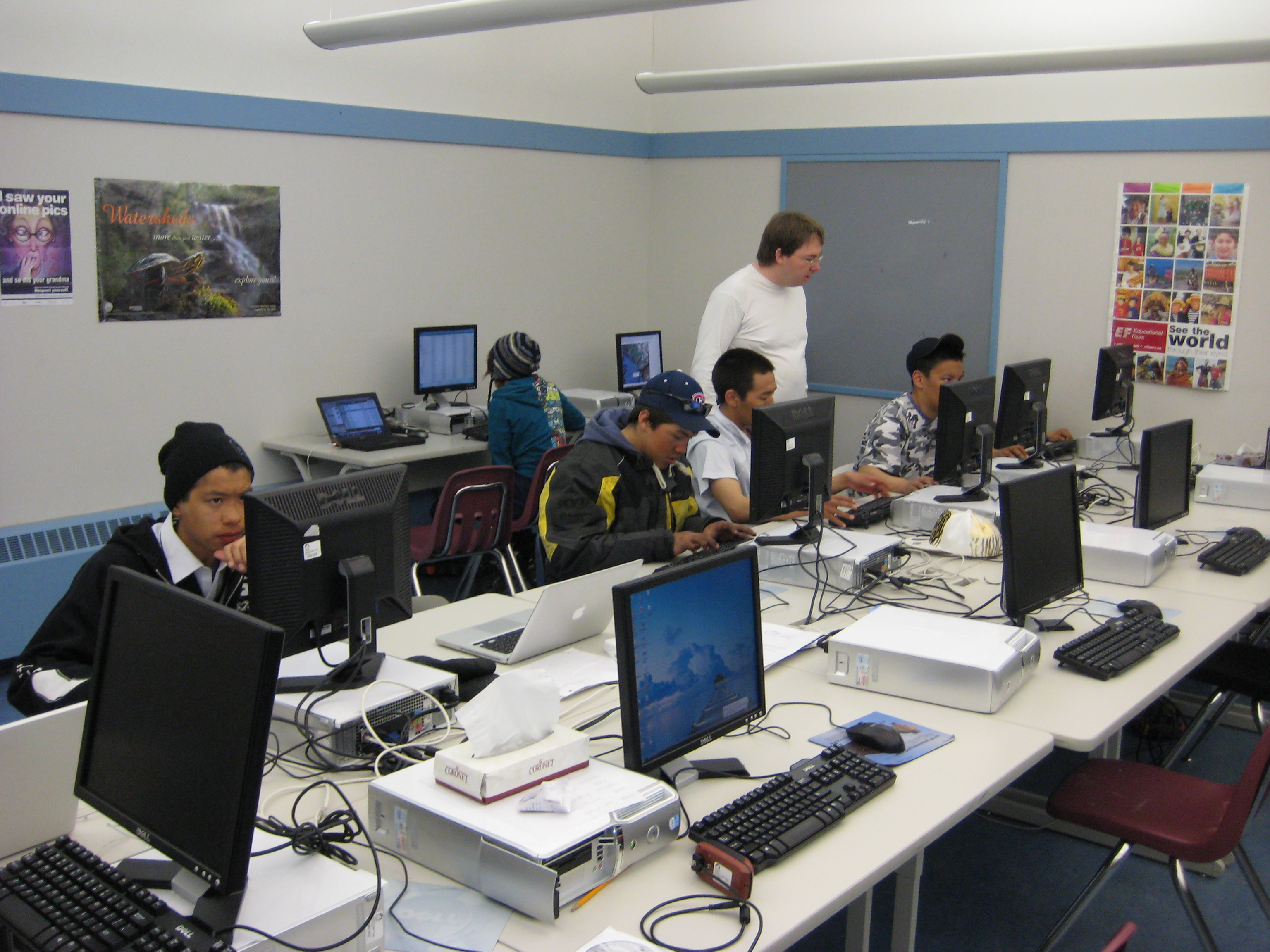
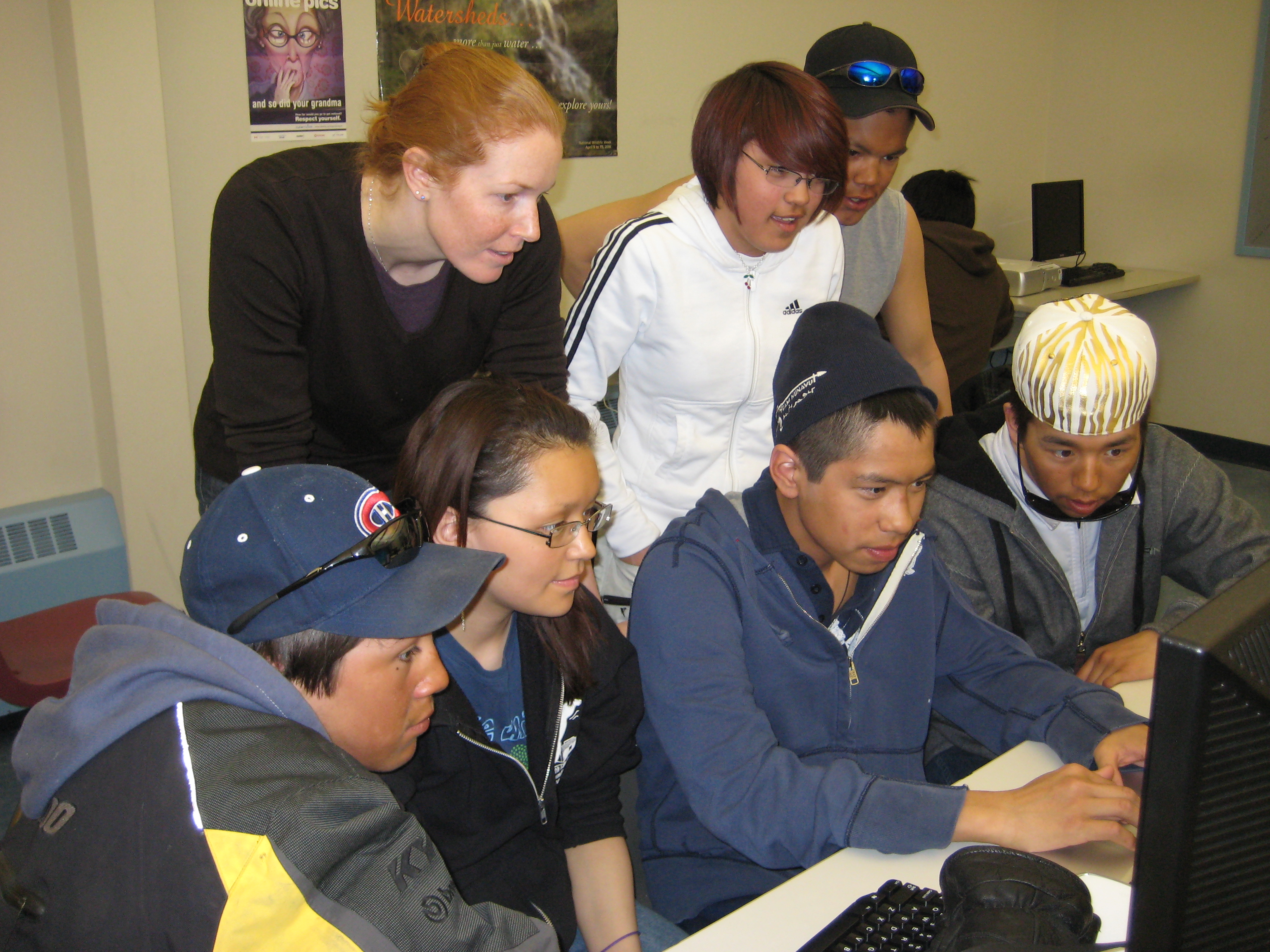
Emphasis was on the creation of educational resources that directly contribute to curriculum development and the use of interactive multimedia web-based learning tools to help bridge classroom and on the land/ice experiential learning.
This work is licensed under a Creative Commons Attribution-NonCommercial-NoDerivatives 4.0 International License. You can freely download and share all documents posted for non-commercial uses, as long as the authors are credited. Photos cannot be used for any other purposes, without permission from the photographer.
Publications
Taylor, D. R. F., Cowan, C., Ljubicic, G. J., and Sullivan, C. 2014. Cybercartography for Education: The Application of Cybercartography to Teaching and Learning in Nunavut, Canada. In: Taylor, D. R. F. and Lauriault, T. P. (eds.). Developments in the Theory and Practice of Cybercartography: Applications and Indigenous Mapping (2nd Edition). Oxford: Elsevier Science. pp.297-324. (https://doi.org/10.1016/B978-0-444-62713-1.00020-9).
Di Leo Browne, T. and Ljubicic, G. J. 2014. Considerations for Informed Consent in the Context of Online, Interactive, Atlas Creation. In: Taylor, D. R. F. and Lauriault, T. P. (eds.). Developments in the Theory and Practice of Cybercartography: Applications and Indigenous Mapping (2nd Edition). Oxford: Elsevier Science. pp. 263-278. (https://doi.org/10.1016/B978-0-444-62713-1.00018-0).
Theses
Sullivan, C. [MA thesis, 2013] Integrating Culturally Relevant Learning in Nunavut High Schools: Student and educator perspectives from Pangnirtung, Nunavut, and Ottawa, Ontario. (Carleton University). (https://doi.org/10.22215/etd/2013-09889)