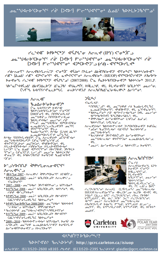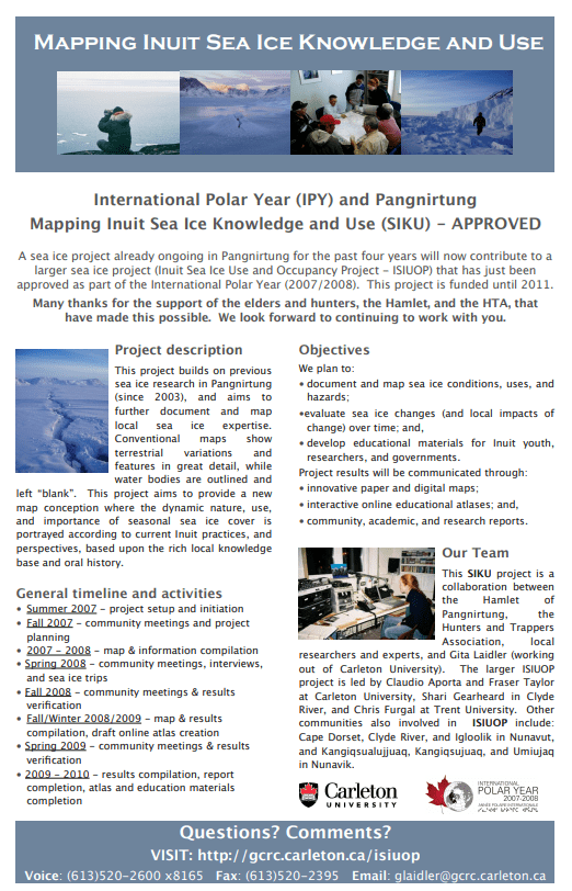
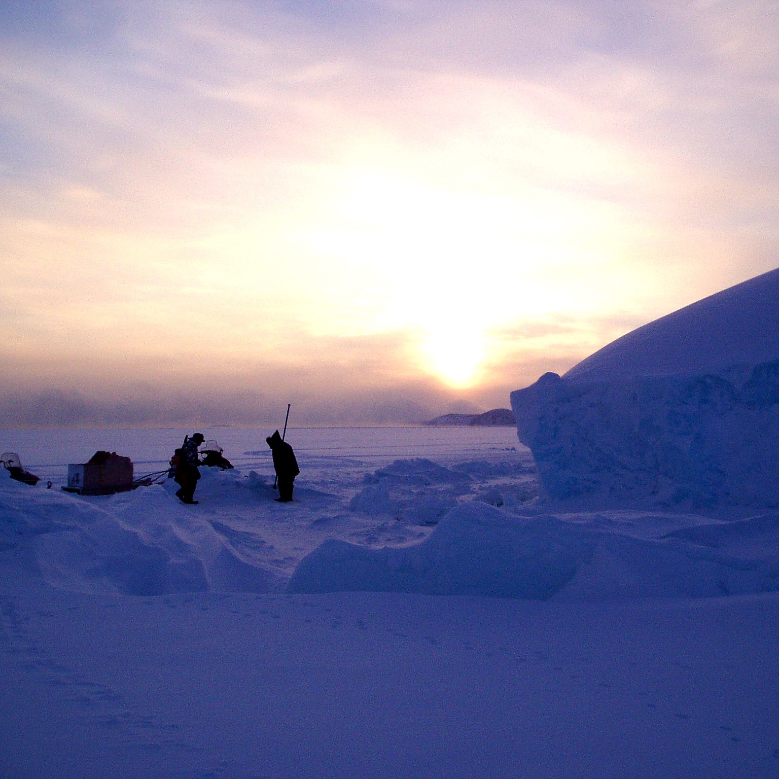
Banner Photo: Gita Ljubicic
Inuit Sea Ice Use and Occupancy Project
2006 – 2011
Funded by: International Polar Year (Canadian Federal Program Office), Science Grant
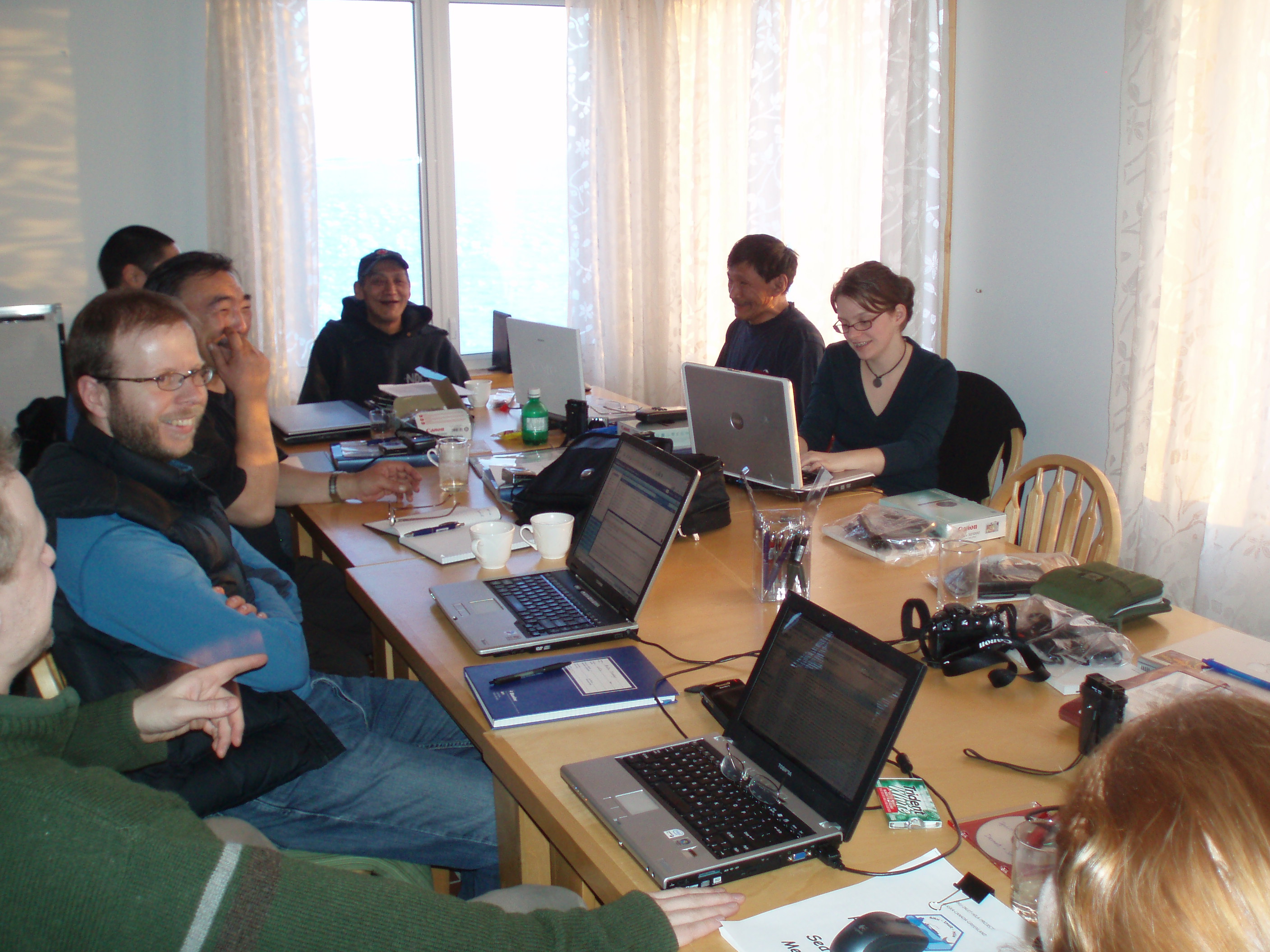
Photos: Gita Ljubicic, Karen Kelley
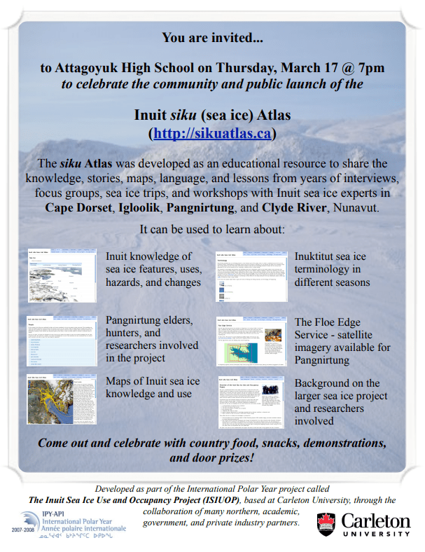
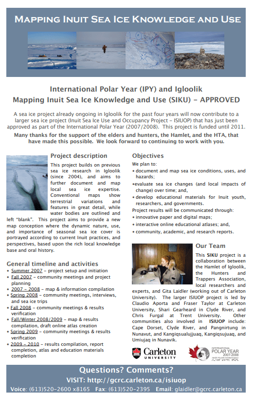
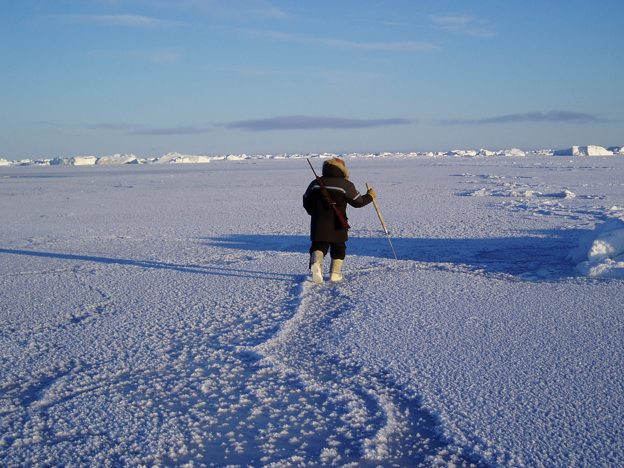
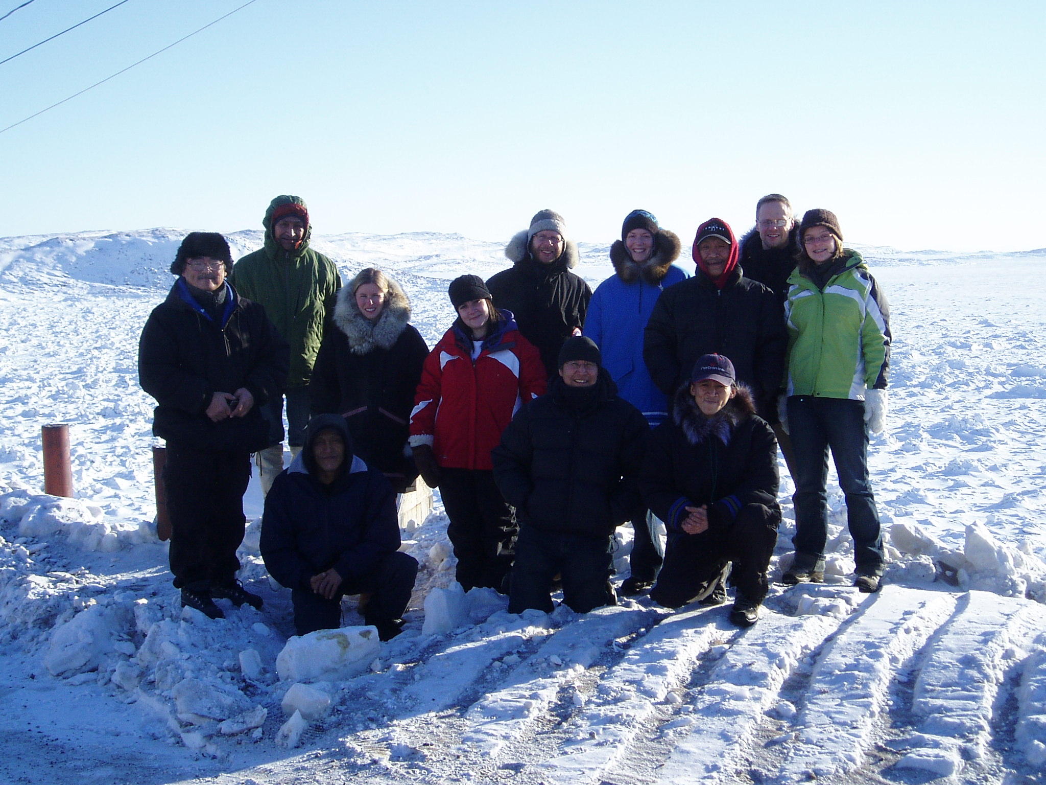
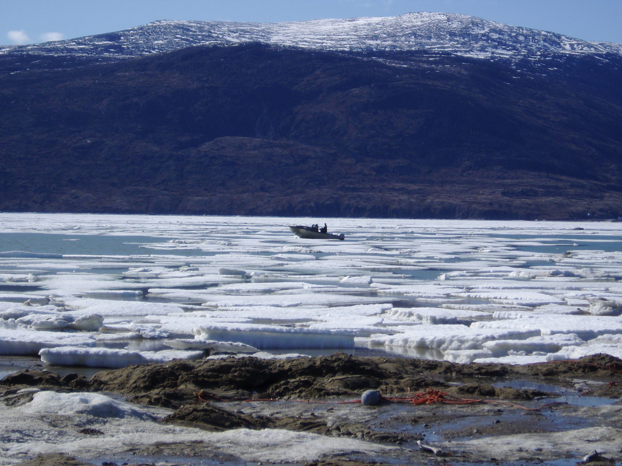
Sea ice is a fundamental feature of the polar environment. It is also one of the most tangible indicators of change in the Arctic. During the last two decades, and in the past several years in particular, both polar scientists and local Inuit residents have detected important shifts in the extent, timing, dynamics and other key parameters of arctic sea ice. Therefore, we initiated the Inuit Sea Ice Use and Occupancy Project (ISIUOP), which builds on previous sea ice research in Nunavut and Nunavik communities (from the SUN Team the Ice Through Inuit Eyes project), and have worked to further document and map local sea ice expertise.
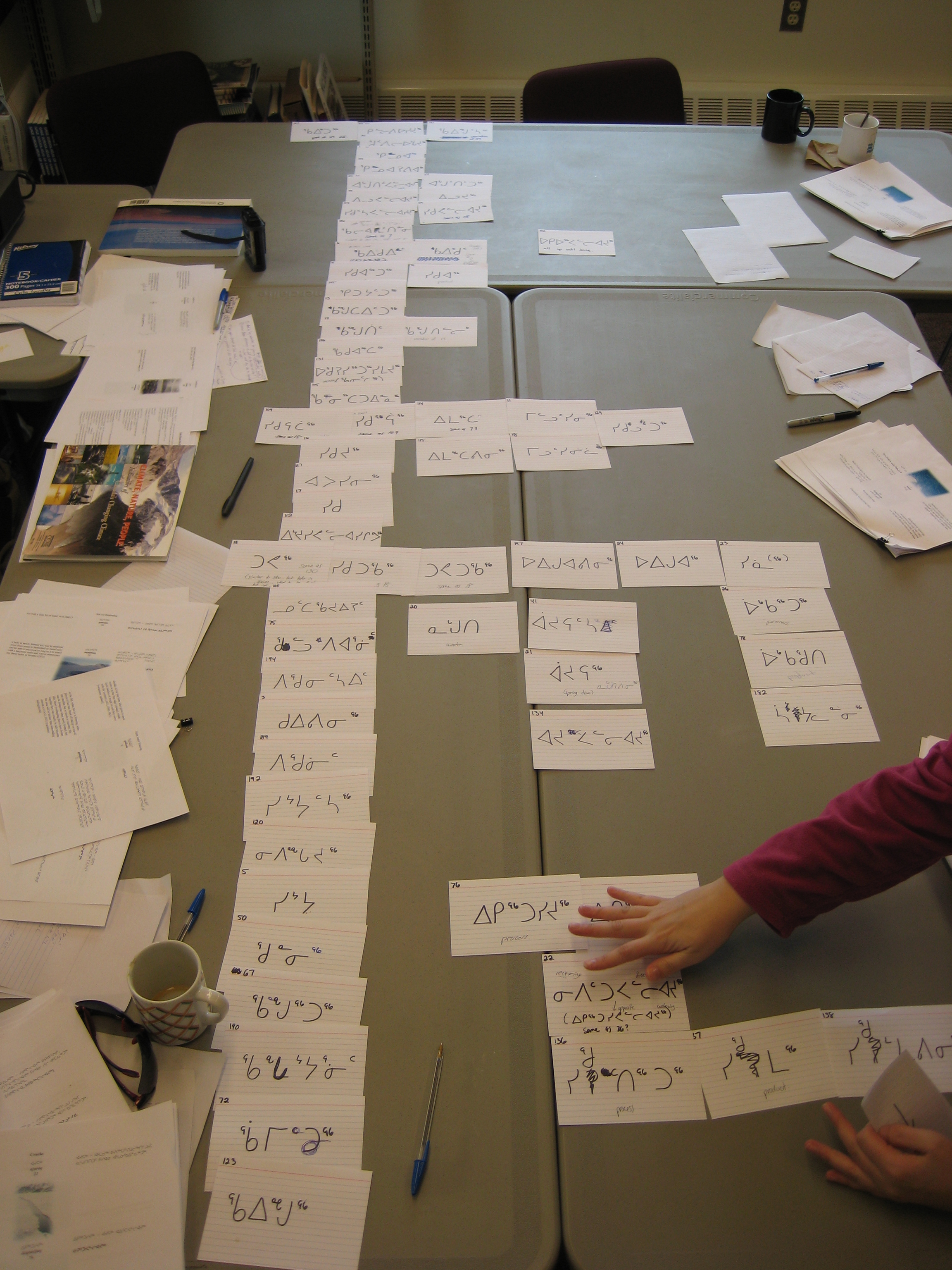
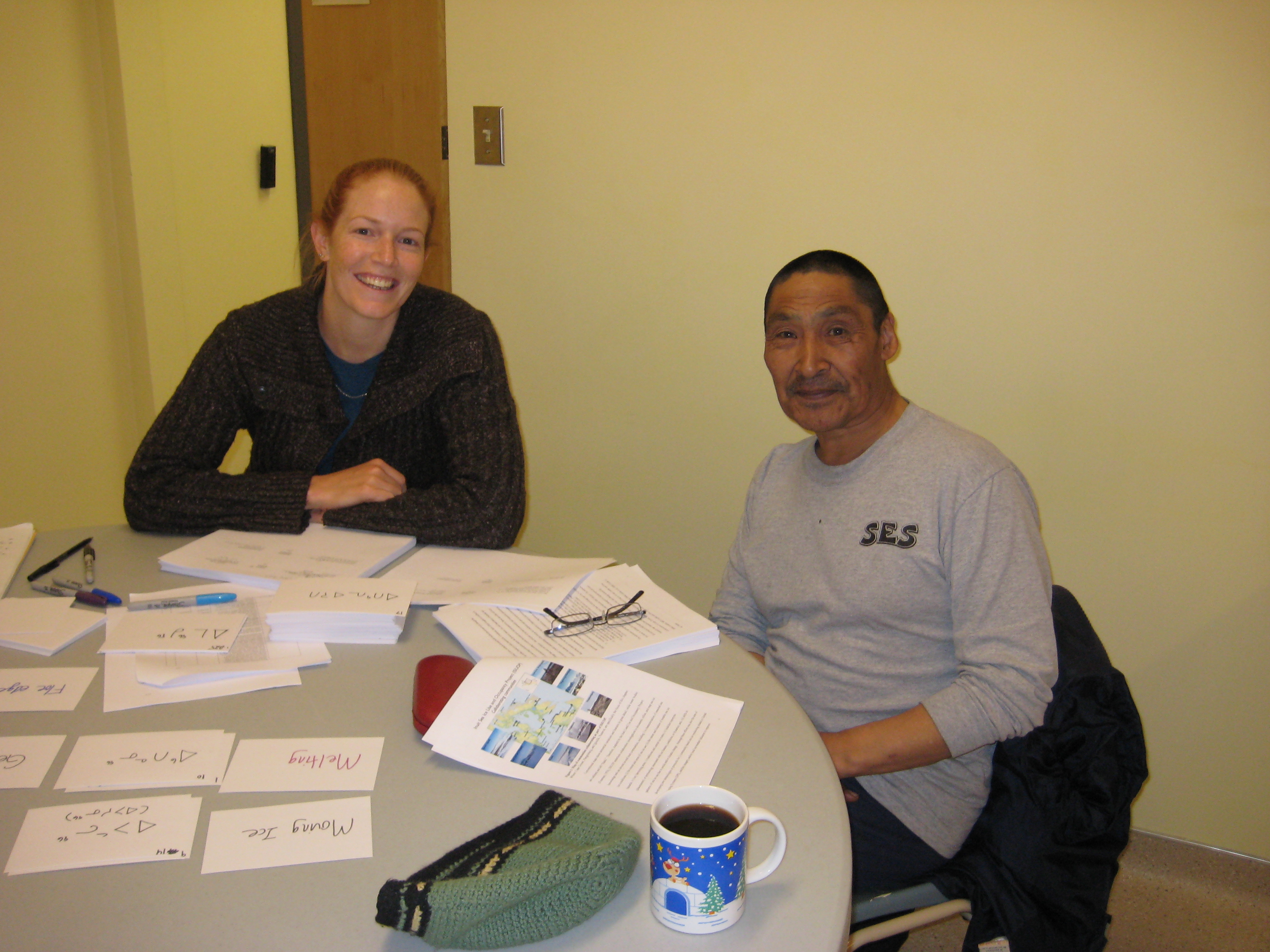
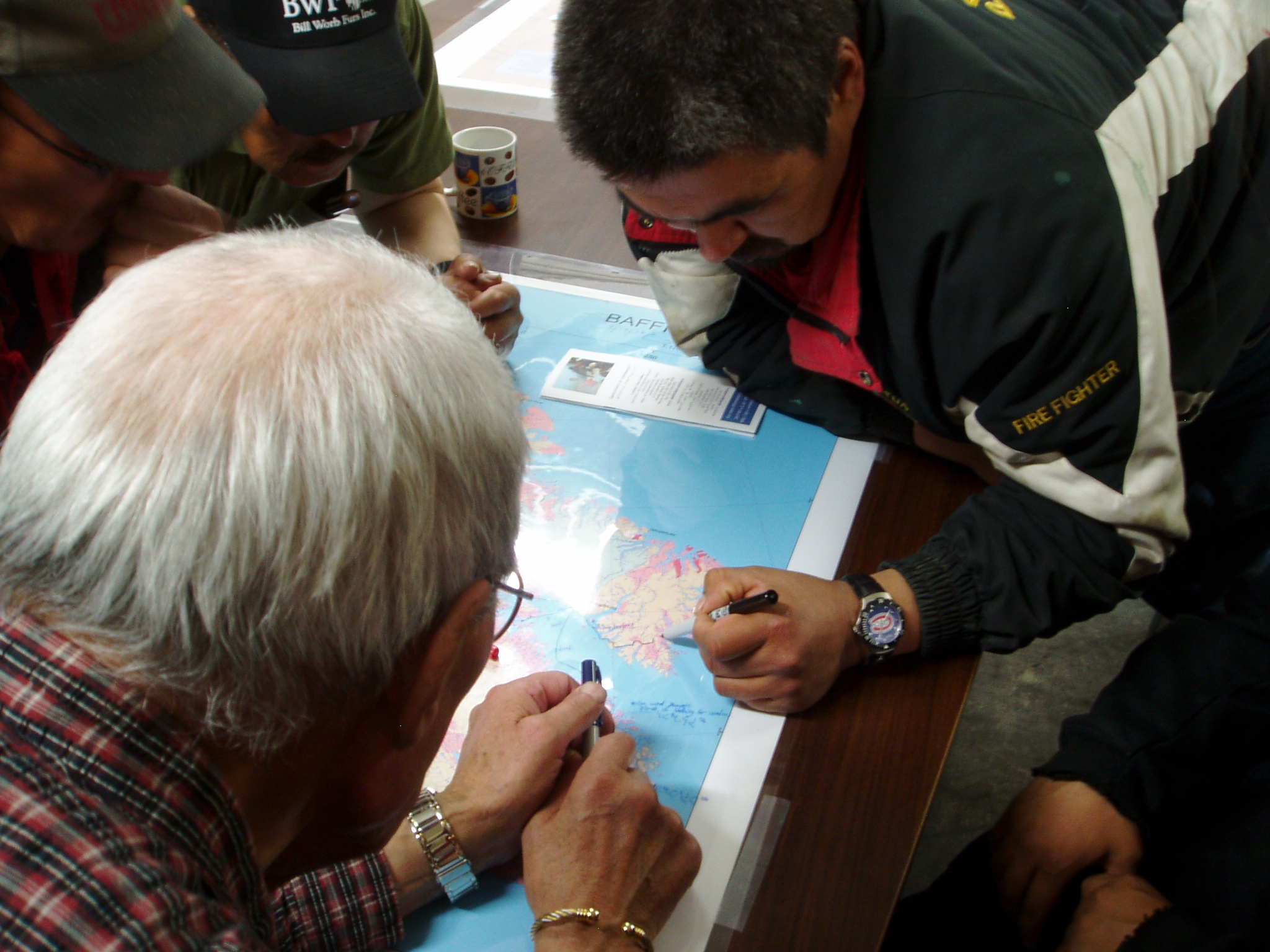
Conventional maps show terrestrial variations and features in great detail, while water bodies are outlined and left “blank.” Therefore, inspired by the Inuit Land Use and Occupancy Project of 1976, ISIUOP has undertaken collaborative investigations to document and map sea ice knowledge and use around several Inuit communities, including:
- A characterization of seasonal sea ice conditions;
- The extent and areas of sea ice use;
- The nature and location of notable sea ice hazards;
- Key harvesting areas;
- Traditional and current ice routes;
- Inuktitut toponyms (placenames) or terminology associated with ice features, conditions, or dynamics; and,
- Shifts in patterns of sea ice use due to social and/or climatic change.
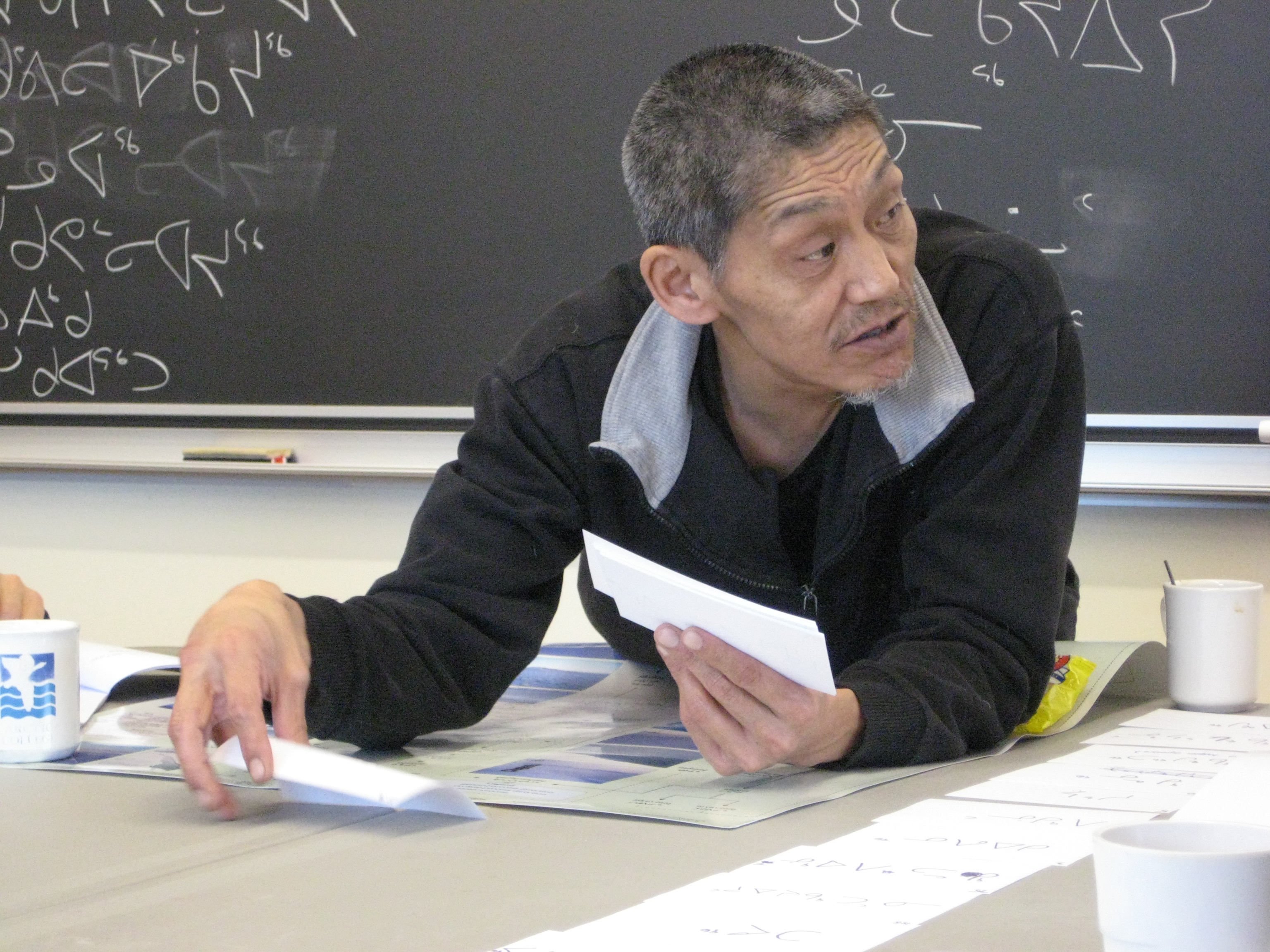
These efforts also aim to develop new technologies or protocols for:
- Community-based sea ice monitoring related to Global Positioning Systems (GPS), satellite imagery, and local ice/weather indicators to improve forecasting services; and,
- New northern-focused multi-media educational tools through the development of an online, interactive atlas framework.
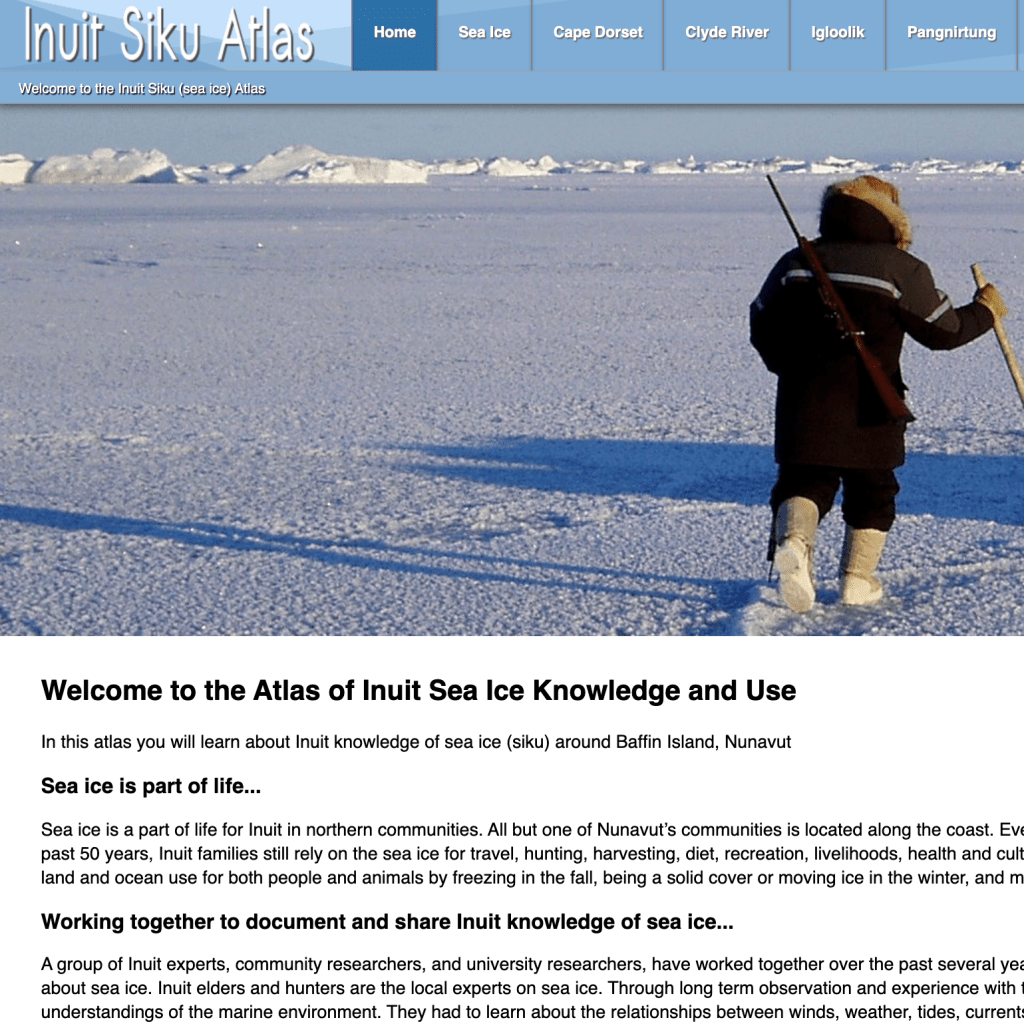
Combined, these efforts aim to create new approaches to mapping, where the dynamic nature, use, and importance of seasonal sea ice cover is shown according to Inuit practices and perspectives, based upon their rich local knowledge base and oral history. The Inuit Siku (sea ice) Atlas evolved as one of the ways of sharing (and integrating) important results coming out of our joint efforts within the International Polar Year (2008/2009).
This work is licensed under a Creative Commons Attribution-NonCommercial-NoDerivatives 4.0 International License. You can freely download and share all documents posted for non-commercial uses, as long as the authors are credited. Photos cannot be used for any other purposes, without permission from the photographer.
Media
Publications
Ljubicic, G. J., Pulsifer, P. L., Hayes, A., and Taylor, D. R. F. 2014. The Creation of the Inuit siku (Sea Ice) Atlas. In: Taylor, D. R. F. and Lauriault, T. P. (eds.). Developments in the Theory and Practice of Cybercartography: Applications and Indigenous Mapping (2nd Edition). Oxford: Elsevier Science. pp. 201-218. (https://doi.org/10.1016/B978-0-444-62713-1.00014-3).
Di Leo Browne, T. and Ljubicic, G. J. 2014. Considerations for Informed Consent in the Context of Online, Interactive, Atlas Creation. In: Taylor, D. R. F. and Lauriault, T. P. (eds.). Developments in the Theory and Practice of Cybercartography: Applications and Indigenous Mapping (2nd Edition). Oxford: Elsevier Science. pp. 263-278. (https://doi.org/10.1016/B978-0-444-62713-1.00018-0).
Kelley, K. A., and Ljubicic, G. J. 2012. Policies and practicalities of shipping in arctic waters: Inuit perspectives from Cape Dorset, Nunavut. Polar Geography, 35, 1: 19-49. (https://doi.org/10.1080/1088937X.2012.666768).
Pulsifer, P. L., Laidler, G. J., Taylor, D. R. F., and Hayes, A. 2011. Towards an Indigenist Data Management Program: Reflections on Experiences Developing an Atlas of Sea Ice Knowledge and Use. The Canadian Geographer, 55, 1: 108-124. (https://doi.org/10.1111/j.1541-0064.2010.00348.x).
Aporta, C., Taylor, D. R. F., and Laidler, G. J. 2011. Geographies of Inuit sea ice use: introduction. The Canadian Geographer, 55, 1: 1-5. (https://doi.org/10.1111/j.1541-0064.2010.00339.x).
Krupnik, I., Aporta, C., Gearheard, S., Laidler, G. J., and Kielsen-Holm, L. (eds.). 2010. SIKU: Knowing Our Ice, Documenting Inuit Sea-Ice Knowledge and Use. Dordrecht: Springer. (https://doi.org/10.1007/978-90-481-8587-0)
Pulsifer, P. L., Laidler, G. J., Taylor, D. R. F., and Hayes, A. 2010. Creating an Online Cybercartographic Atlas of Inuit Sea Ice Knowledge and Use. In: Krupnik, I., Aporta, C., Gearheard, S., Laidler, G. J., and Kielsen-Holm, L. (eds.). SIKU: Knowing Our Ice, Documenting Inuit Sea-Ice Knowledge and Use. Dordrecht: Springer. 229-254. (https://doi.org/10.1007/978-90-481-8587-0_10)Krupnik, I., Aporta, C., and Laidler, G. J. 2010. Introduction. In: Krupnik, I., Aporta, C., Gearheard, S., Laidler, G. J., and Kielsen-Holm, L. (eds.). SIKU: Knowing Our Ice, Documenting Inuit Sea-Ice Knowledge and Use. Dordrecht: Springer. 1-28. (https://doi.org/10.1007/978-90-481-8587-0_1)
Theses
Karpala, K. [MA thesis, 2010] Adapting to a World of Change: Inuit Perspectives of Climate Change in Igloolik, Nunavut. (Carleton University). (https://doi.org/10.22215/etd/2010-08788

Kelley, K. E. [MA thesis, 2009] Policies and Practicalities of Shipping in Changing Ice Conditions: A case study from Cape Dorset, Nunavut. (Carleton University).(https://doi.org/10.22215/etd/2009-08617)