
Banner Photo: Gita Ljubicic
Multi-resolution remote sensing data for characterizing tundra vegetation communities on Boothia Peninsula, Nunavut
2000 – 2002
Funded by: Natural Sciences and Engineering Research Council, Northern Scientific Training Program
Photos: Gita Ljubicic, Craig Sheriff
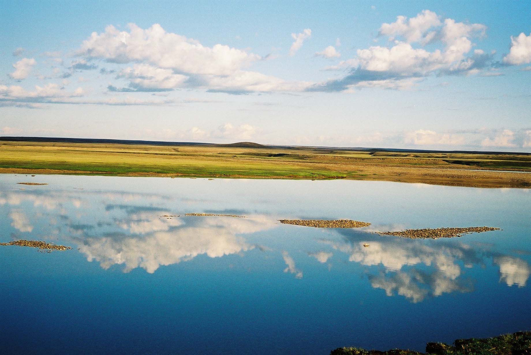
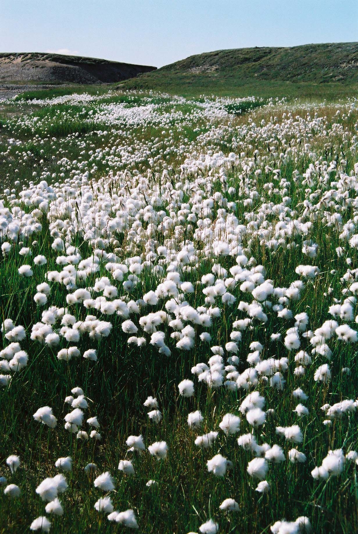
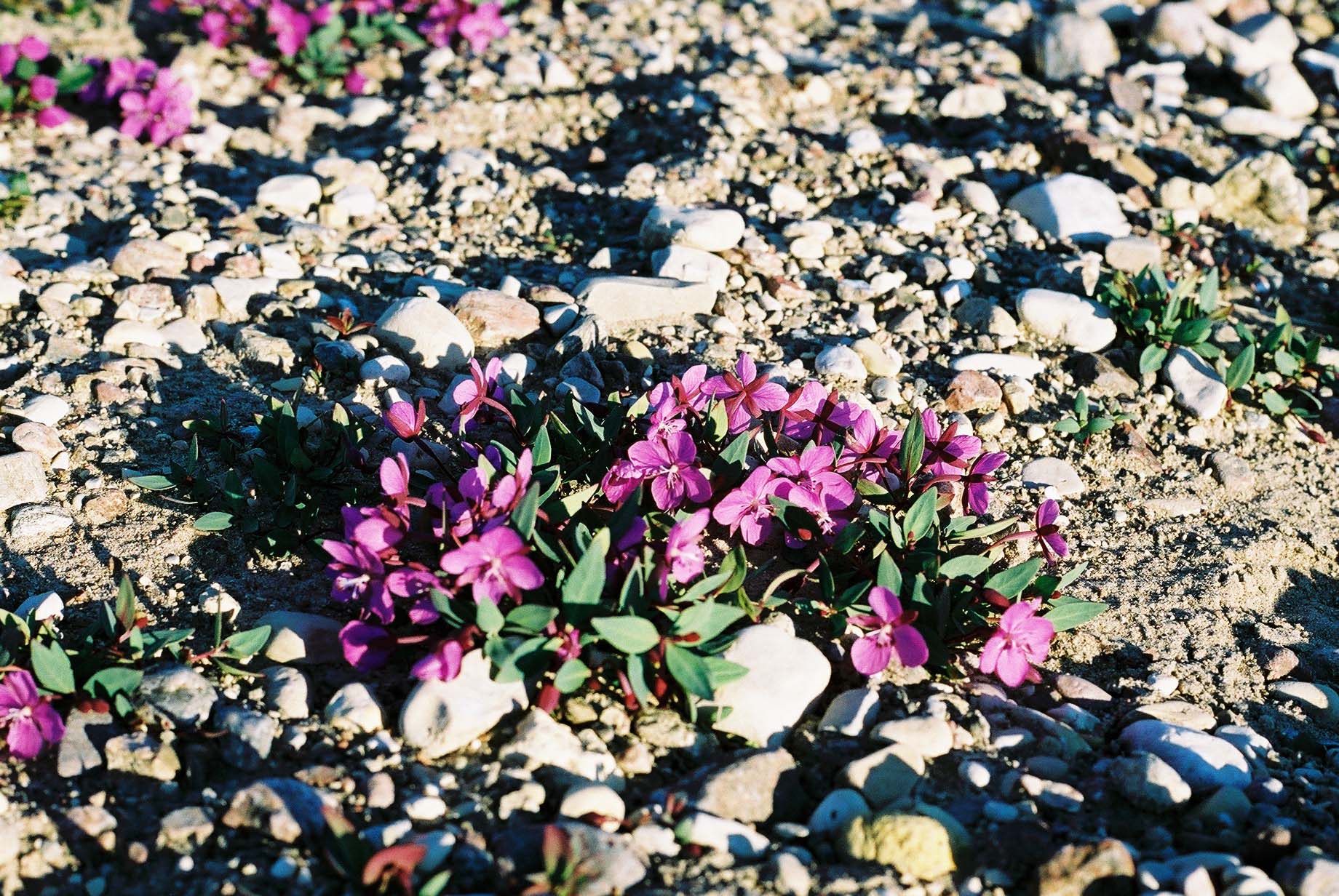
Arctic tundra environments are considered particularly sensitive and responsive to changes in climate. Investigating changes in tundra vegetation communities, species diversity, and productivity are therefore important indicators of ecosystem function and health. Remote sensing may provide a viable means to monitor large scale and potentially rapid changes in large-scale vegetation changes across vast remote areas.
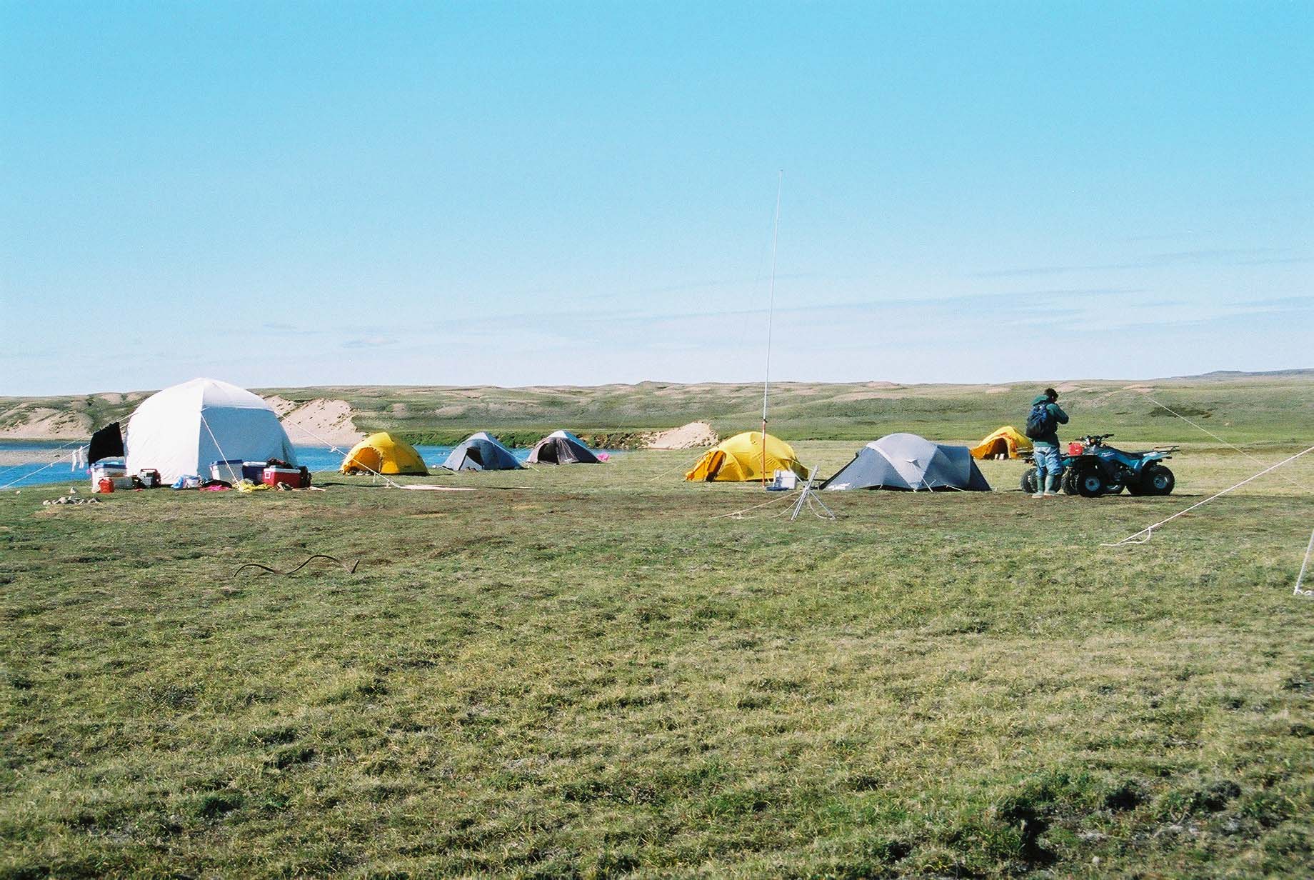
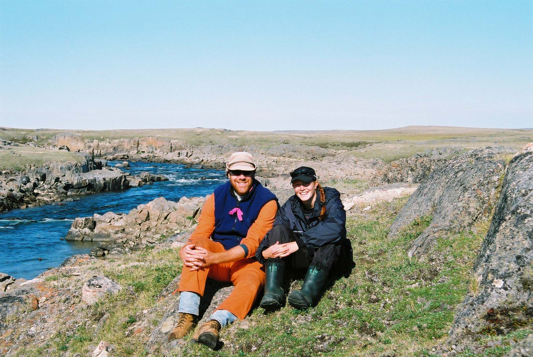
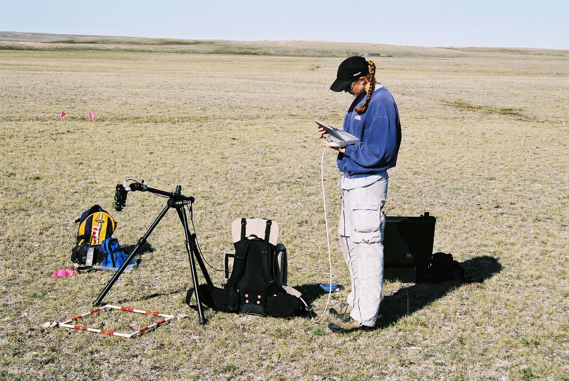
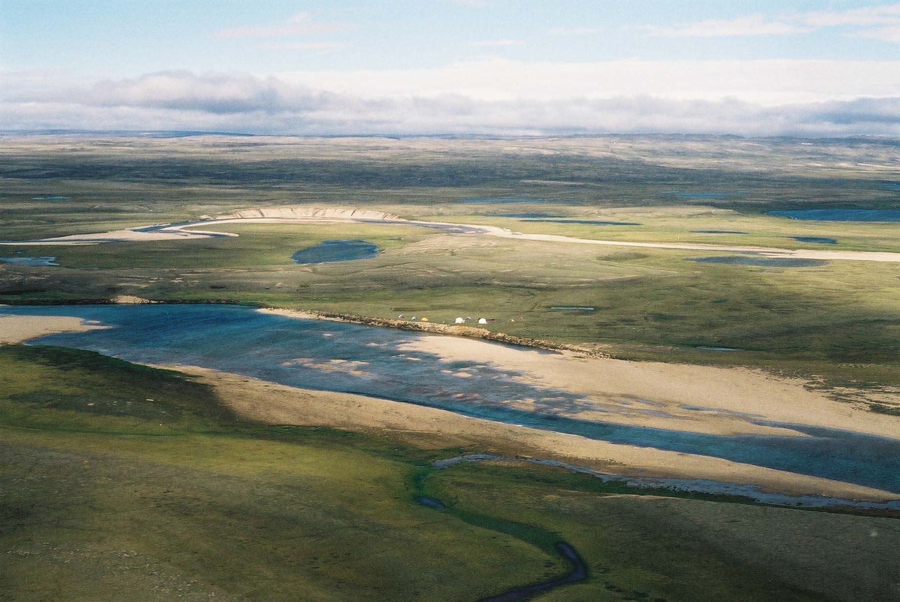
The objectives of this study were to explore the relationships between vegetation indices derived from satellite imagery at different scales, with plant biomass, percent vegetation cover, and soil moisture in tundra environments. We spend the summer of 2001 (June – August) at a field camp in the Lord Lindsay River watershed on Boothia Peninsula, Nunavut to understand plant community diversity in the watershed, related to elevation, soil moisture, and amount of exposed gravel till. This field work was important in order to connect to analysis of satellite imagery (i.e. connecting what we see on the ground to the spectral signature – reflectance – recorded in imagery).
Gita Ljubicic (Laidler at the time), also worked with Sarah Takolik to conduct interviews with Inuit Elders in Taloyoak in June 2001, before going to the Boothia field camp. Through these interviews Elders shared their knowledge of tundra plants, and the importance for uses by people and animals (especially caribou). Due to limitations of time and funding these interviews could not be meaningfully incorporated into her thesis, but all recordings were provided to the Netsilik School for local storage and community access.
This work is licensed under a Creative Commons Attribution-NonCommercial-NoDerivatives 4.0 International License. You can freely download and share all documents posted for non-commercial uses, as long as the authors are credited. Photos cannot be used for any other purposes, without permission from the photographer.
Publications
Laidler, G. J., Treitz, P. M., and Atkinson, D. M. 2008. Remote Sensing of Arctic Vegetation: The relations between NDVI, spatial resolution, and vegetation cover on Boothia Peninsula, Nunavut. Arctic, 61, 1: 1-13. (https://doi.org/10.14430/arctic2)
Laidler, G. J. and Treitz, P. 2003. Biophysical Remote Sensing in Arctic Environments. Progress in Physical Geography, 27, 1: 44-68. (https://doi.org/10.1191/0309133303pp358ra).
Theses
Laidler, G. J. [MSc thesis, 2002] Multi-resolution remote sensing data for characterizing tundra vegetation communities on Boothia Peninsula, Nunavut. (Queen’s University).
