Banner Photo: Gita Ljubicic
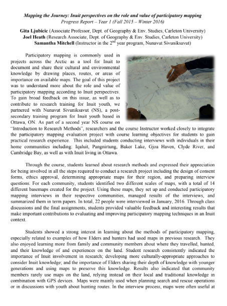
Mapping the Journey: Inuit perspectives on the role and value of participatory mapping
2015 – 2019
Funded by: Ontario Ministry of Research and Innovation, Early Researcher Award


Photos: Samantha Mitchell, Gita Ljubicic, Emmelie Paquette
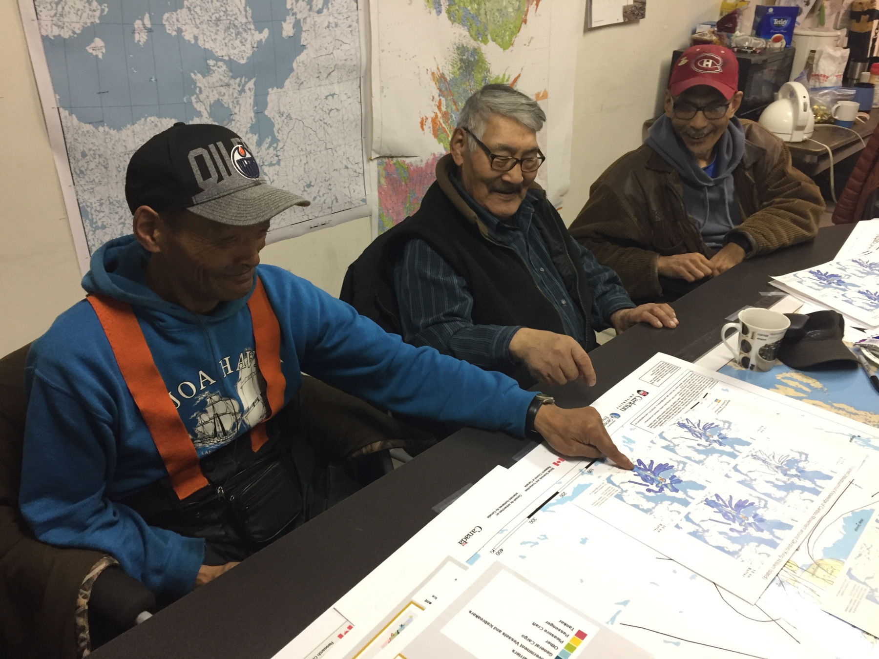
Participatory mapping is commonly used in projects across the Arctic. It is a tool for Inuit to document, represent, and share their cultural and environmental knowledge by drawing places, routes, or areas of importance on available maps. This kind of mapping was critical to documenting Inuit land use and occupancy that became the foundation of land claim agreements across Inuit Nunangat (Inuit homelands) in Canada. However, maps have also been used as a tool of colonial power where they have been used to claim territories, exert political authority, and ignore or erase Indigenous sovereignty.
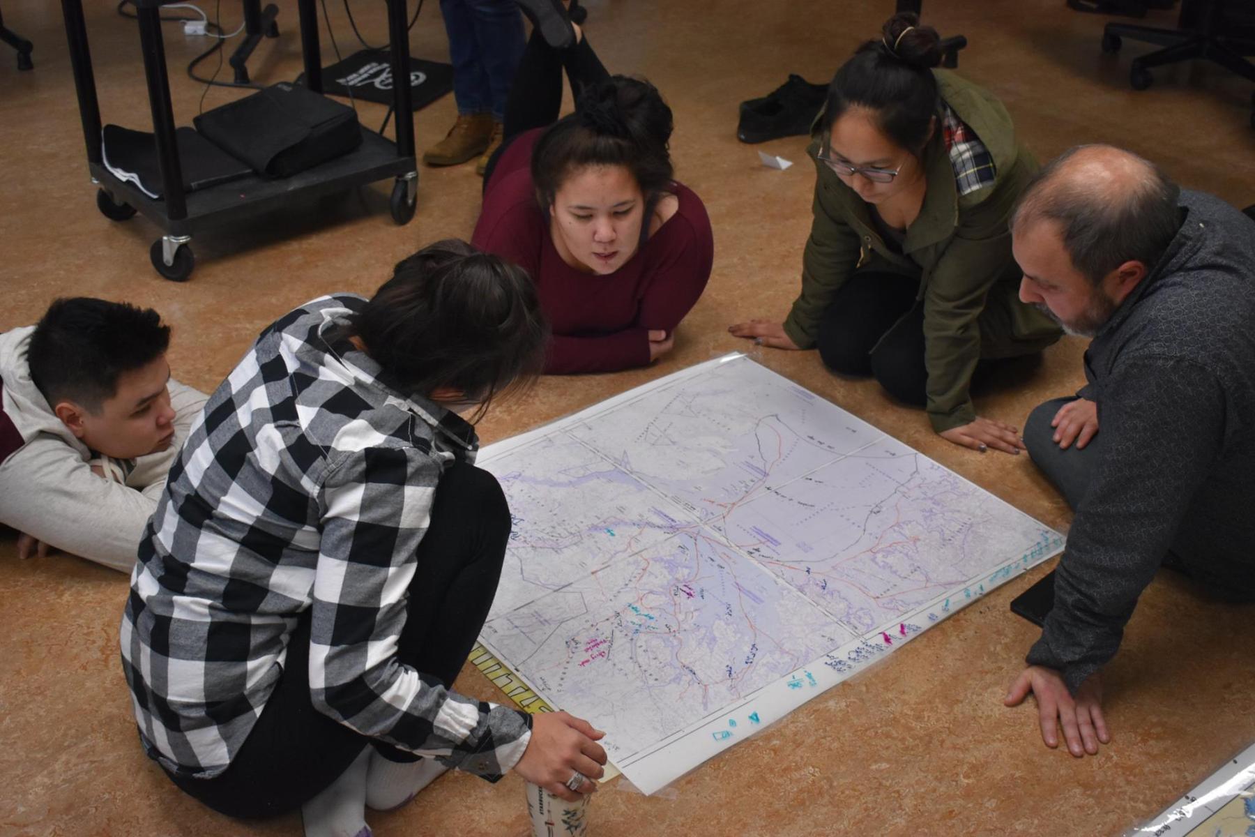
Although there have been widespread counter-mapping efforts by Indigenous Peoples around the world, there has not been much focus on the use and challenges of participatory mapping in an Inuit context. In this project we wanted to learn about the role and value of participatory mapping according to Inuit perspectives in Nunavut. We did this by reflecting on participatory mapping practices used in past projects, as well as working with Nunavut Sivuniksavut students (NS).
NS is a post-secondary training program for Inuit youth based in Ottawa, ON. We worked with Samantha and students of the second year “Introduction to Research Methods” course to introduce participatory mapping methods. In 2015-2016 students also contributed to participatory mapping evaluations as part of a research project they did while they were home for the holidays. It was not feasible to keep the mapping evaluation as part of the NS research course, but Gita and Joel did a guest presentation on participatory mapping at NS each year of the project.
We also expanded from the original scope of work with the help of graduate students, including consideration for participatory mapping methods and representation in caribou research (Emmelie, Julie), interviews and a literature review of mapping used in Inuit knowledge research (Alex), and understanding environmental change in eastern Hudson Bay (Megan).
This work is licensed under a Creative Commons Attribution-NonCommercial-NoDerivatives 4.0 International License. You can freely download and share all documents posted for non-commercial uses, as long as the authors are credited. Photos cannot be used for any other purposes, without permission from the photographer.
Publications
de Paiva, A. [MA thesis, 2017] Understanding the Role and Value of Participatory Mapping in an Inuit Knowledge Research Context. (Carleton University). (https://doi.org/10.22215/etd/2018-12620)